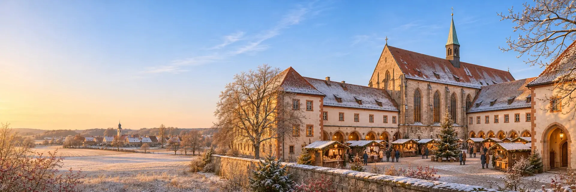
Seligenporten. Your turf.
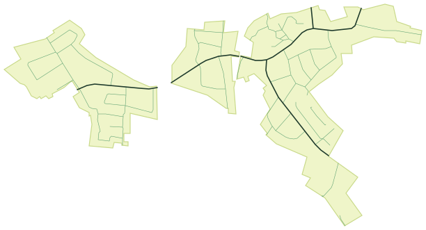
Seligenporten has 10 km of streets and paths. That is how much CLAYM knows for the village, and every street you walk, run or ride for the first time turns green on your map and earns points.
Every street in Seligenporten
What kind of streets does Seligenporten have?
This is how the 10 km split into kinds of street. A named street in Seligenporten is 254 m long on average.
- Main roads2.3 km · 22 %
- Residential and side streets7.3 km · 70 %
- Traffic-calmed streets0.4 km · 4 %
- Pedestrian zones and squares0.0 km · 0.0 %
- Footpaths, cycle paths and tracks0.5 km · 5 %
How long would it take to walk every street in Seligenporten?
At 5 km/h, 10 km are about 2 hours of pure walking, without detours, traffic lights or ways back. Walking one hour a day, you would have been everywhere after about 2 days. By bike at 15 km/h it would be about 0.7 hours.
Nobody has to do it all: in CLAYM every new street counts, and the map shows you which ones near you are still missing.
Seligenporten compared
Schwabach (21 km away) has 179 km more streets and paths than Seligenporten.
Cities nearby
Questions about Seligenporten
How many kilometres of streets does Seligenporten have?
According to the OpenStreetMap data CLAYM uses, Seligenporten has 10 km of streets and paths, 41 of them with their own name. Pedestrian zones, footpaths and cycle paths are included, motorways are not.
Can you walk every street in Seligenporten?
Yes, with patience: all 10 km take about 2 hours of pure walking. Walking one hour a day, you are done after about 2 days. CLAYM shows you which streets you are still missing.
Is CLAYM available in Seligenporten?
Yes, the streets of Seligenporten are already in CLAYM. Get the free app from the App Store or Google Play and start exploring.
Your next round starts at your front door.
Download for free, head out, keep it up.
Data as of 31 October 2026. Streets, city limits and districts from OpenStreetMap (© OpenStreetMap contributors), without motorways. Every street that earns points in CLAYM is counted. Rankings compare the 281 cities on claym.me.